This website uses cookies so that we can provide you with the best user experience possible. Cookie information is stored in your browser and performs functions such as recognising you when you return to our website and helping our team to understand which sections of the website you find most interesting and useful.
The Sandlings Walk
Introduction
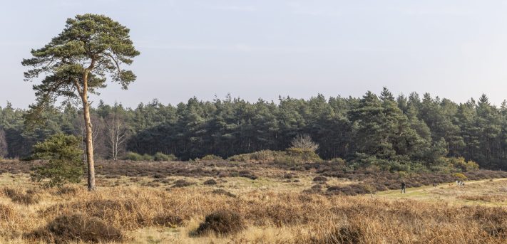
There is little of the Sandlings landscape left today. In the 1930s it was a vast area of sandy heathland, however since then 80% has been lost and this very special area now makes up only 1% of the world's lowland heath.
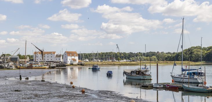
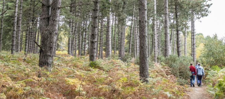
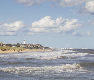
The Sandlings Walk is a beautiful and varied route through eastern Suffolk, travelling along riverside paths, through forests and across heathland. On its way between Southwold and Ipswich it passes through bustling towns and quaint villages, with lots of opportunities to stop for a spot of light (or not so light!) refreshment.
The route heads generally inland from Southwold, though it does coincide with the Suffolk Coast Path at several points, providing fantastic opportunities for a number of shorter circular walks.
[Please note: Due to the construction of Sizewell C there is a diversion in place from the beach at Sizewell to Dunwich Heath. Along this section please follow signage for the Suffolk Coast Path. Click here to view a map of the change.]

Distance: 59 miles
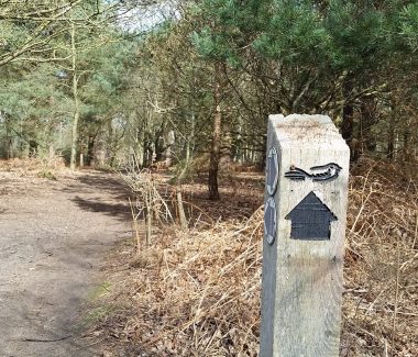
Waymarker: Nightjar logo
Start: Southwold Common
Finish: Ipswich
Route Overview
Use the map to preview the route and look for points of interest along the way. Simply click on an icon to start researching the route. You can use the layers button in the bottom right corner to toggle Ordnance Survey mapping.
Download the Discover Suffolk App
Explore this long distance trail using the FREE Discover Suffolk App. Available to download on Apple and Android devices.


