This website uses cookies so that we can provide you with the best user experience possible. Cookie information is stored in your browser and performs functions such as recognising you when you return to our website and helping our team to understand which sections of the website you find most interesting and useful.
St Edmund Way
Introduction
The St Edmund Way is a stunning long distance walk across the length of Suffolk from Manningtree (technically just over the border in Essex) in the south, to Brandon in the Brecks to the north of the county.
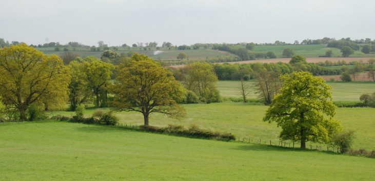
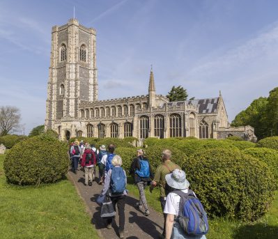
The route follows parts of the Stour Valley Path, the Lark Valley Path and the Icknield Way, and showcases some of Suffolk's gently rolling farmland and beautiful river valleys. It also takes in some of the county's most fascinating and historic towns and villages including Bury St Edmunds itself, the final resting place and namesake of the martyr King Edmund.
Further information: British Pilgrimage Trust

Distance: 79 miles
Waymarker: Blue Disk with yellow arrow plus crown and arrow symbol of St Edmund
Start: Manningtree Station
Finish: Brandon
Route Overview
Use the map to preview the route and look for points of interest along the way. Simply click on an icon to start researching the route. You can use the layers button in the bottom right corner to toggle Ordnance Survey mapping.
Download the Discover Suffolk App
Explore this long distance trail using the FREE Discover Suffolk App. Available to download on Apple and Android devices.

